Moving to West Vancouver: A Guide to Its Neighbourhoods
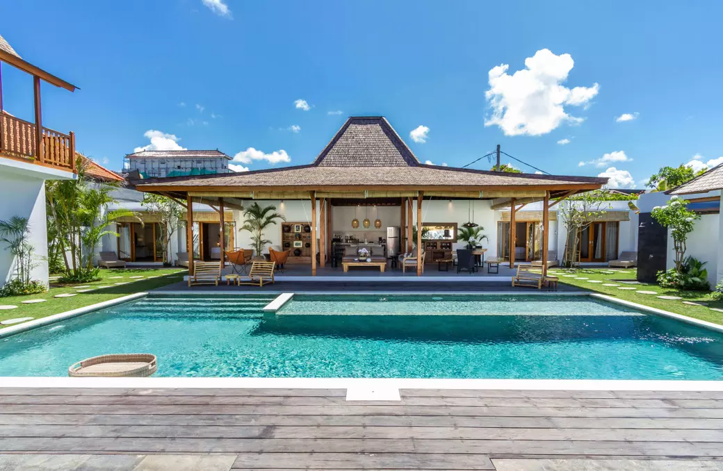
West Vancouver's neighbourhoods sit in a narrow band between the ocean and the mountains, from the apartments and shops of Ambleside to the British Properties and the seaside village of Horseshoe Bay. Here is a guide for home buyers to its neighbourhoods, transit, parks, schools and plans, and what to check before you buy.
The short version
West Vancouver had 44,122 people in the 2021 Census, on about 87 km², and a median age of 50.8. About 56% of its occupied homes were single-detached houses and about 31% were apartments. The Blue Bus, the District's own service within TransLink, and the R2 RapidBus link it to the region, and the Lions Gate Bridge leads to Vancouver. West Vancouver Schools (School District 45) runs 14 elementary and 3 secondary schools. The District is planning for more homes, with a new plan for Ambleside put in place by the Province in April 2026. About half of its land is in a wildfire hazard development permit area, so check a property's permit areas and title before you buy.
West Vancouver at a glance
The District of West Vancouver was incorporated in 1912. Its Official Community Plan describes "individual, unique neighbourhoods situated in a narrow band of development between the water and the mountains." West Vancouver has more than 30 km of shoreline, and the District looks after more than 140 parks.
In the 2021 Census, it had 44,122 people, up 3.9% from 2016, and its median age of 50.8 was about a decade above the regional median, as the District notes. It had 17,690 occupied homes:
- Houses. 9,835 single-detached houses, about 56%.
- Apartments. 3,810 in buildings of five or more storeys and 1,600 in lower buildings, together about 31%.
- Duplex units. 1,520 apartments or flats in a duplex, Statistics Canada's term for one of two homes stacked one above the other, about 9%.
- Townhouses and semis. 400 row houses and 520 semi-detached homes, about 5%.
The neighbourhoods
- Ambleside. The Official Community Plan calls its town centre "the heart of civic, social, economic and cultural activities in the community." Ambleside began as a grid of streets with shops along Marine Drive, and in 1959 land there and in Hollyburn was rezoned for apartment buildings. Its beach parks line the seawalk.
- Dundarave. A village centre just west of Ambleside, named for the Scottish castle of the clan of an early resident, R.E. Macnaghten.
- Park Royal and Taylor Way. Park Royal, now a regional shopping centre, was one of the first shopping centres in Canada. The Province has directed the District to plan for more homes around Park Royal and Taylor Way.
- The British Properties. British investors led by the Guinness family bought most of West Vancouver's upper lands and began building the British Properties in 1932. Sentinel Secondary is in the neighbourhood.
- Altamont and Caulfeild. The District describes Altamont's large lots, mature trees and landscaping. Caulfeild, named for Francis William Caulfeild, has a village centre. Lower Caulfeild, which he laid out in 1899, is a heritage conservation area where any work on a property needs an alteration permit.
- Horseshoe Bay. The District calls it "a unique seaside neighbourhood sloping down to a commercial village," at Mile Zero of the Sea to Sky Highway. Council adopted a local area plan for it in 2021.
- The Upper Lands. Mostly undeveloped land north of Highway 1, where the 2018 plan restricts homes above 1,200 feet. The Rodgers Creek neighbourhood was approved before that plan, and in November 2024 Council approved the plan for a new mixed-use Cypress Village. The landowner also transferred 262 acres at Eagleridge to the District, which dedicated them as park in April 2025.
Getting around
- The Blue Bus. West Vancouver Transit, run by the District as part of the TransLink system, operates routes such as the 250 from Horseshoe Bay through Dundarave to Vancouver, local routes from Park Royal to Caulfeild and the British Properties, and the 262 to Lions Bay. TransLink sets its service levels.
- R2 RapidBus. Runs east from Park Royal across North Vancouver. In April 2026, TransLink announced that it expected to extend the route from Phibbs Exchange to Metrotown Station in Burnaby in September 2026, for a one-seat ride from Park Royal.
- The Lions Gate Bridge. Opened in 1938 across the First Narrows, it links the North Shore with Stanley Park and downtown Vancouver. A third lane was added in 1952 and lane controls in 1965.
- Highways and ferries. The Upper Levels Highway (Highways 1 and 99) crosses West Vancouver, and Horseshoe Bay is Mile Zero of the Sea to Sky Highway. From Horseshoe Bay, BC Ferries sails to Nanaimo (Departure Bay), Bowen Island and the Sunshine Coast (Langdale).
Parks, beaches and mountains
- Lighthouse Park. About 75 hectares of old-growth coastal forest, with short trails and a view of the Point Atkinson Lighthouse, a national historic site. Pay parking applies year-round, and residents can get an annual pass at no cost.
- The Centennial Seawalk. An easy 1.7 km walk from the foot of 18th Street in Ambleside to Dundarave Park, with an off-leash dog path between 19th and 24th streets. Bikes are not allowed.
- Cypress Provincial Park. Created in 1975, with downhill and Nordic skiing, snowshoeing and hiking, including the Howe Sound Crest Trail. The road up starts at the Upper Levels Highway.
- Whytecliff Park. Just west of Horseshoe Bay, with a swimming beach and a saltwater marine protected area known for diving.
- Trails. More than 100 km of them, including the West Vancouver section of the Baden-Powell Trail, which climbs from Cleveland Dam to Hollyburn Ridge and through Cypress Provincial Park before dropping to Horseshoe Bay.
Schools and health care
West Vancouver Schools (School District 45) has 14 elementary and 3 secondary schools and draws students from West Vancouver, Bowen Island and Lions Bay. Early French Immersion is offered at École Cedardale and École Pauline Johnson, late French Immersion from Grade 6 at Pauline Johnson, and French Immersion continues at Sentinel Secondary. Several schools offer International Baccalaureate programs, and Eagle Harbour has a Montessori school. Use the district's School Locator to find the catchment schools for an address.
Lions Gate Hospital in North Vancouver, run by Vancouver Coastal Health, serves the North Shore. It has 268 beds and is a trauma centre and one of five neurosurgery centres in BC.
How West Vancouver is growing
- The plan. The 2018 Official Community Plan shows how about 5,000 new homes could be added by 2041, with local area plans for Ambleside, Marine Drive, Horseshoe Bay and the Taylor Way corridor.
- Provincial targets. The Province's 2023 housing target order calls for 1,432 net new homes in West Vancouver over five years. In April 2026, under a provincial housing directive, the Province used an order in council to add the Ambleside Centre Local Area Plan to the District's Official Community Plan.
- More homes per lot. A provincial law passed in November 2025 extended BC's small-scale housing rules to most of West Vancouver's single-family zones, about 10,400 lots, with a June 30, 2026 deadline. In July 2026, the zoning changes were still before Council, so confirm the current rules before you plan a suite, coach house or multiplex. West Vancouver is not among the municipalities the Province requires to designate transit-oriented areas. I explain the rules in More Homes per Lot.
Before you buy
- Wildfire. The Wildfire Hazard Development Permit Area covers all properties within 100 metres of a forested area, about half the District's land. A development permit is needed before you build most new houses or coach houses there, though not for work on an existing home.
- Creeks. In existing neighbourhoods, most development within 15 metres of the top of a creek bank needs an environmental development permit, and watercourse mapping is not complete.
- Waterfront. Waterfront and low-lying properties can be in the Foreshore Development Permit Area, which addresses sea level rise, storms and flooding.
- Steep lots. On a sloping lot, ask your inspector, and where needed a geotechnical engineer, to look at retaining walls and drainage.
- Title. Have your lawyer or notary review any covenants, rights-of-way or building schemes on title, which can limit what you can build.
- First Nations land. The District sits on the traditional territory of the Squamish, Tsleil-Waututh and Musqueam Nations. The Squamish Nation's Capilano Indian Reserve, at the mouth of the Capilano River next to the District's eastern border, is not part of the District. If a listing is on reserve land, have a lawyer explain the lease or other interest you would be buying, and how it is registered, before you remove subjects.
The District's WestMap shows the wildfire and foreshore permit areas and mapped watercourses for an address.
Questions buyers often ask me
How many people live in West Vancouver?
The 2021 Census counted 44,122 people, up 3.9% from 2016, on about 87 km². The median age was 50.8.
Is West Vancouver the same as North Vancouver?
No. The District of West Vancouver is a separate municipality with its own council, zoning and school district. North Vancouver is two other municipalities, the City and the District.
How do I get around West Vancouver without a car?
Blue Bus routes link Park Royal with neighbourhoods such as Caulfeild, the British Properties and Whitby Estates, and the 250 runs from Horseshoe Bay through Dundarave to Vancouver. The R2 RapidBus runs from Park Royal across North Vancouver.
How do I find my catchment school in West Vancouver?
Use the West Vancouver Schools School Locator. Programs such as French Immersion, International Baccalaureate and Montessori are offered at particular schools.
Is a West Vancouver home likely to be in a hazard area?
Quite possibly. About half of the District's land is in the Wildfire Hazard Development Permit Area, and creeks and the shoreline have their own permit areas, so check WestMap and ask the District before you plan any building.
Browse homes for sale in West Vancouver, see the village to the north in Lions Bay, or read Freehold or Strata? before you choose between a house and an apartment.
Thinking about West Vancouver?
I would be happy to help you compare West Vancouver's neighbourhoods and look into a home's permit areas and title before you buy. Call or text 778-834-1706, email silvana@silvanaazurdia.ca or send me a message. Happy to help in English or Spanish.
This article is general information, not legal advice. Population and housing figures are from the 2021 Census, and other details are from the District of West Vancouver, the Province, TransLink, BC Parks, BC Ferries, Vancouver Coastal Health and West Vancouver Schools at the time of writing. For the District's guide to hazard permit areas, see Natural Environment and Hazard Development Permit Areas.
Recent Posts